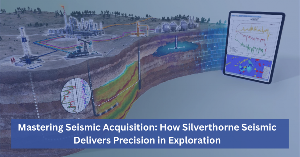
Mastering Seismic Acquisition: How Silverthorne Seismic Delivers Precision in Exploration
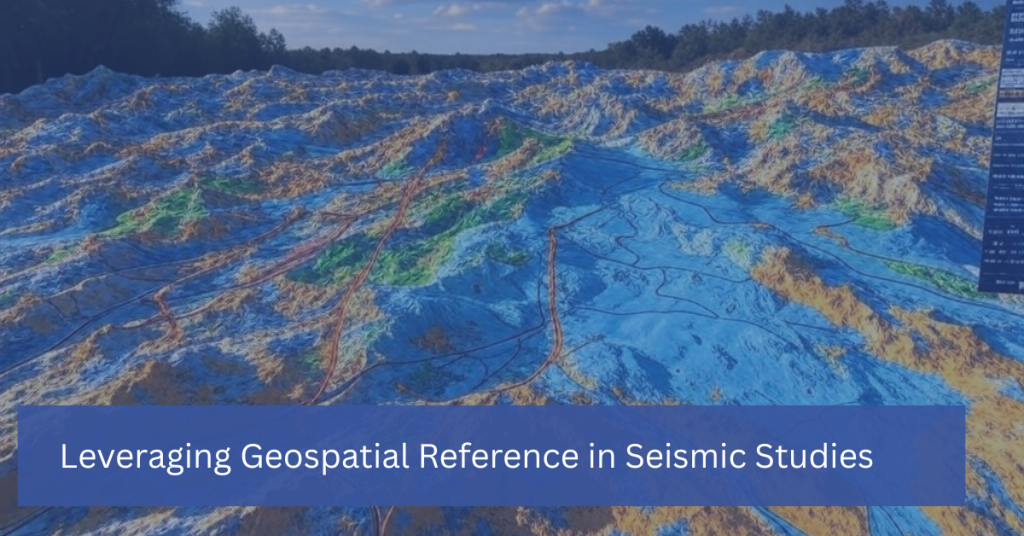
Successful seismic programs are the backbone of effective oil and gas exploration. At Silverthorne Seismic, we bring decades of expertise to ensure every project starts on solid ground. Founded on a legacy dating back to 1979 through our partner company Wilson Geophysical, we’ve honed our approach to seismic acquisition to deliver responsive, nimble solutions tailored […]