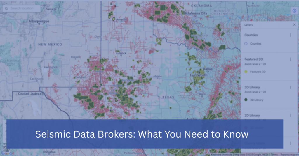
Silverthorne Seismic, LLC

Energy Exploration

Energy Exploration: Explore the frontier of energy exploration with a focus on innovative methods and technologies that are shaping the future of oil, gas, and alternative energy sources.

How to Choose the Right Seismic Survey: 3D vs. 2D

How to Choose the Right Seismic Survey: 3D vs. 2D

Seismic surveys are a crucial tool for mapping and analyzing subsurface formations in the oil and gas industry. They provide critical insights that help geologists, engineers, and exploration teams make informed decisions about where to drill and how to develop a field. However, one of the most important decisions a company must make is choosing […]

How to Choose the Right Seismic Survey: 3D vs. 2D Read More »

seismic data

The Role of Seismic Data in Oil and Gas Exploration

In the oil and gas industry, making informed decisions about where to drill and how to develop resources requires precise and reliable data about the Earth’s subsurface. Seismic data, particularly 3D seismic, plays a crucial role in this process. It helps geophysicists and engineers identify potential reservoirs, evaluate risks, and optimize exploration efforts. Let’s explore

The Role of Seismic Data in Oil and Gas Exploration Read More »

The SCOOP South Central Oklahoma Oil Province

The SCOOP: South Central Oklahoma Oil Province

The SCOOP: South Central Oklahoma Oil Province – Chuck Diggins from DownUnder Geosolutions gives an informative presentation on the SCOOP with the help of Silverthorne VP, John Fortier. The South-Central Oklahoma Oil Province expands across major oil-producing counties in Oklahoma; Grady, Garvin, Stephens, Jefferson, and Carter counties. Watch the video below to learn more about the SCOOP

The SCOOP: South Central Oklahoma Oil Province Read More »

Scroll to Top