Gravity and Magnetic Surveys: Enhancing Seismic Data Analysis
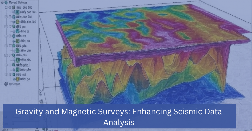
In the world of subsurface exploration, seismic data analysis is a powerful tool that helps industries like oil and gas, mining, and environmental science uncover valuable underground resources. However, when used alone, seismic data might not provide a complete picture of the subsurface. This is where gravity and magnetic surveys come into play, offering complementary […]
Gravity and Magnetic Surveys: Enhancing Seismic Data Analysis Read More »